Codicote Neighbourhood Plan 2024 - 2031 Submission

Ends on 28 January 2025 (6 days remaining)

Appendix I – Photographs of Important Views Comment
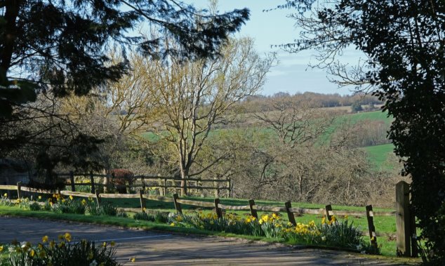
View 1 - From path UCR2 looking south east - path with fence and daffodils in foreground with dipping countryside and distance rise of green fields separated by hedges
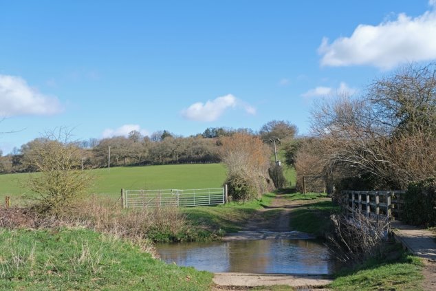
Figure 28: View 1 - From path UCR2 looking south east

 Figure 21: View 2 From Ford looking along UCR2 looking north - river crossing in foreground with ford and raised footpath to right  - green fields and hedges beyond
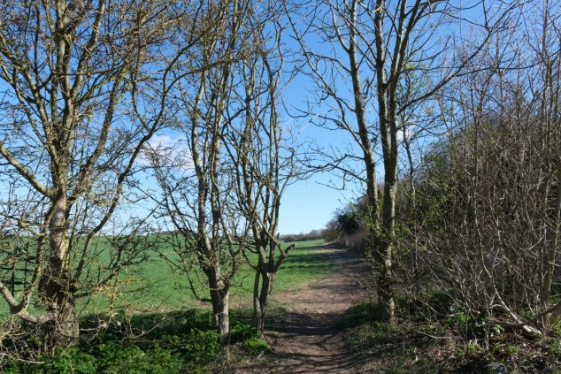
Figure 29: View 2 From Ford looking along UCR2 looking north

View 3 From Footpath 8 looking north east to Ashley Grove - footpath along edge of field with mature hedgerow bordering path
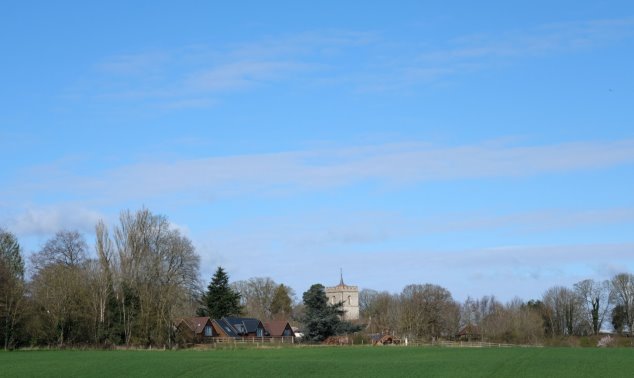
Figure 30: View 3 From Footpath 8 looking north east to Ashley Grove

View 4 From Junction of Footpath 5 and 6 looking north west to St Giles - grass field in foreground with houses and church tower centre picture under a big blue sky
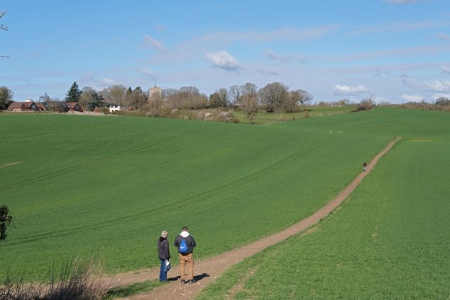
Figure 31: View 4 From Junction of Footpath 5 and 6 looking north west to St Giles

View 5 From Footpath 5 looking north-west to St Giles - rolling large green field with no divisions, mud footpath left of centre and church tower surrounded by trees in far distant left
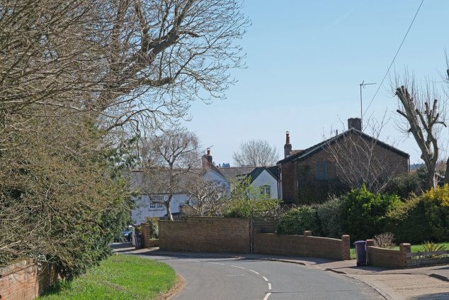
Figure 32: View 5 From Footpath 5 looking north-west to St Giles

View 6 From the bend on Heath Lane looking east - bend in road with red brick wall and mature hedge on left and housing on right
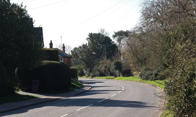
Figure 33: View 6 From the bend on Heath Lane looking east

View 7 Entering Codicote village looking south-east along High Street - bend in the road with narrow grass verge and mature hedges on right and housing on left

Figure 34: View 7 Entering Codicote village looking south-east along High Street

View 8 From Codicote Lodge driveway looking north east to 1/3 Heath Lane - slight bend in the road with red brick and flint walls on left - looking into the historic homes in the High street

Figure 35: View 8 From Heath Lane looking north east to 1/3 Heath Lane
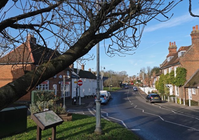
View 9 From Pond House looking north-west along High Street - long view from the village green along High Street going north out of the village with old houses on both sides of the road
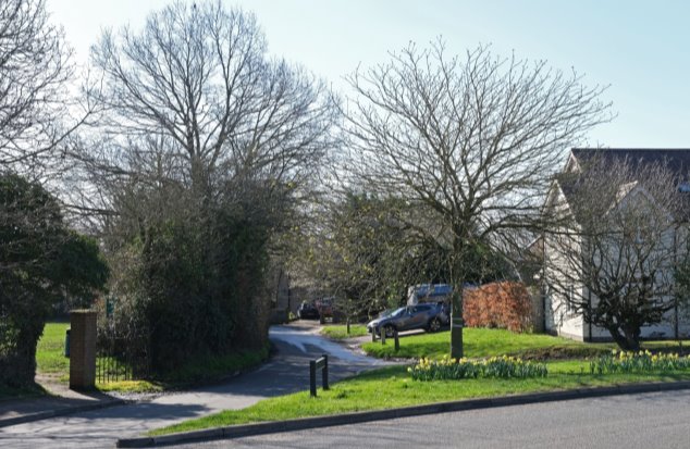
Figure 36: View 9 From Pond House looking north-west along High Street

View 10 From St Albans Road looking south east on Cowards Lane - entrance to park , green triangle with daffodils and homes beyond
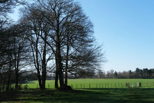
Figure 37: View 10 From St Albans Road looking south east on Cowards Lane

View 11 From The Green looking west across Codicote Heath - shaded field in foreground with mature trees midway and green fields beyond with a backdrop of trees

Figure 38: View 11 From The Grove looking west across Codicote Heath
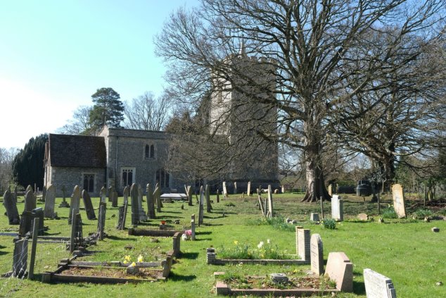
View 12 To St Giles Church across the churchyard - Graveyard in foreground with trees and church behind
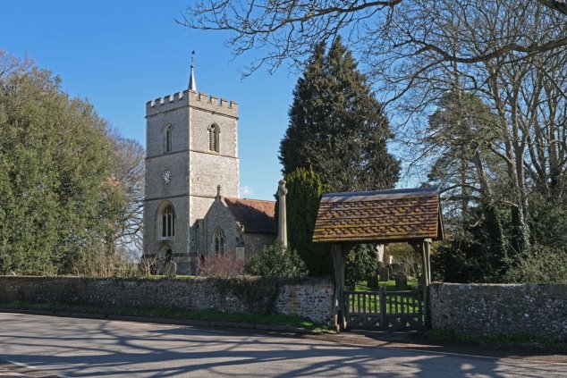
Figure 39: View 12 To St Giles Church across the churchyard

View 13 From St Giles of the Lychgate with war memorial, and church behind

Figure 40: View 13 From St Giles Lychgate with war memorial, towards the church
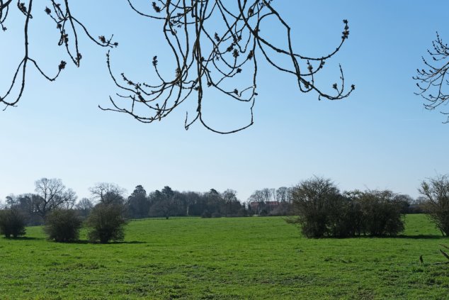
View 14 From Footpath 2 looking towards Codicote Lodge - big open view with green field dotted with bushes and farm buildings in the far distance

Figure 41: View 14 From Footpath 2 looking towards south east
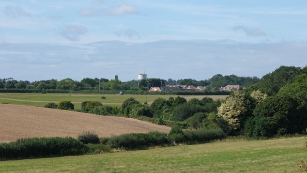
A view across fields to the sports centre and the water tower

Figure 42 View 15 From Mansells Lane/Bury Lane south west to Water Tower

For instructions on how to use the system and make comments, please see our help guide.
back to top back to top