Codicote Neighbourhood Plan 2024 - 2031 Submission
Ended on the 28 January 2025
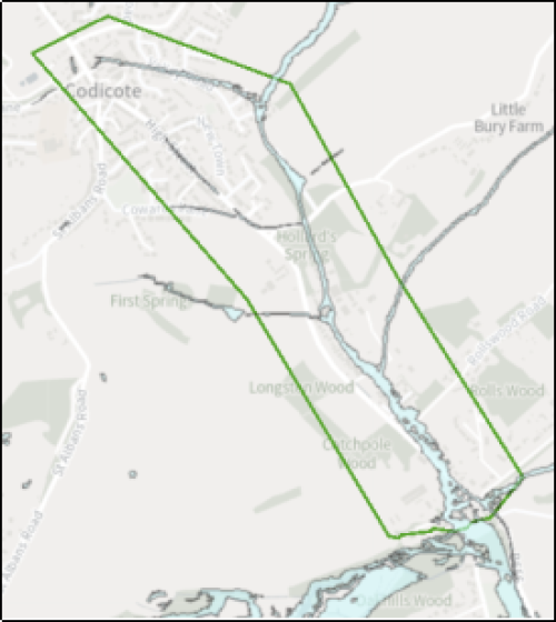
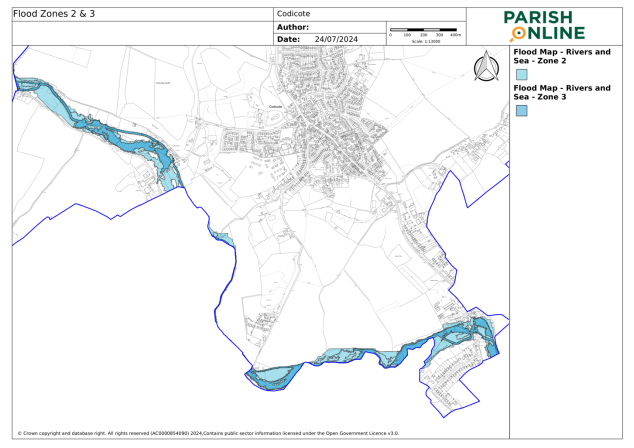
Appendix G - Surface Water & River Flooding

Map produced from: GOV.UK Flood Map for Planning


Surface Water Management Plan Hotspot Map produced from: Hertfordshire County Council's Flood Risk Management Viewer
Maps reproduced under OS Licence AC0000854090 using Open Government Licence v3.0

For instructions on how to use the system and make comments, please see our help guide.
